
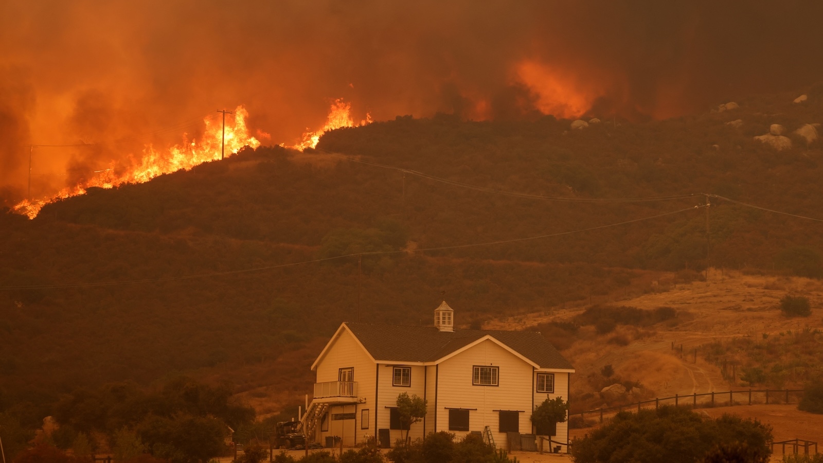
The Growing Crisis of Coastal Inundation Why Sea Level Rise and Land Subsidence are Reshaping Global Risk
Global coastal vulnerability is being radically redefined by a pair of groundbreaking studies that reveal a far more precarious situation than previously understood by the scientific community and international policymakers. New research indicates that sea levels in many parts of the world are nearly a foot higher than the baseline figures used in current flood-risk models, while simultaneously, land in critical megacities and river deltas is sinking at rates that dwarf the rise of the oceans. Together, these phenomena create a "double whammy" of inundation risk that places tens of millions of additional people in the path of permanent flooding decades sooner than anticipated.
For years, the international community has relied on global mathematical models to project the impacts of climate change on coastal regions. However, a new analysis from Wageningen University & Research in the Netherlands and a high-resolution satellite study from the University of California, Irvine, suggest these models have suffered from significant "methodological blind spots." These errors have led to a systematic underestimation of the threat, particularly in the Global South, where ocean dynamics are most volatile and groundwater extraction is most aggressive.
The Flaw in the Foundation: Why Current Sea Level Estimates are Low
The first major revelation comes from geographers Katharina Seeger and Philip Minderhoud, whose work challenges the reliance on the "geoid"—a mathematical model of the Earth’s shape based on gravity and rotation—to estimate local sea levels. For decades, the majority of peer-reviewed literature and reports from the Intergovernmental Panel on Climate Change (IPCC) have utilized geoid-based models as a proxy for the sea’s surface.
The problem, according to Seeger, is that the geoid assumes a calm, static ocean. In reality, the ocean is a dynamic system influenced by powerful currents, thermal expansion, and prevailing winds that "pile up" water against certain coastlines. By comparing these theoretical models against actual data from 385 tide gauges worldwide, the researchers found that real-world sea levels are, on average, 9.4 to 10.6 inches higher than the models suggest.
This discrepancy is not a minor statistical error; it exceeds the total global sea-level rise recorded since the beginning of the 20th century. In Southeast Asia, the discrepancy is even more pronounced, with actual tides measuring three feet or more higher than the models predict. This means that the "starting line" for future sea-level rise is already much higher than policymakers have been told, effectively erasing decades of "leeway" that cities thought they had to build defenses.
The Sinking Land: Anthropogenic Subsidence in Global Deltas
While the ocean rises from above, the land is failing from beneath. The second study, led by Leonard Ohenhen of the University of California, Irvine, utilized satellite-mounted radar to create 3D maps of 40 of the world’s most populous river deltas. The findings are stark: more than half of these deltas are subsiding, and in 18 cases, the land is sinking faster than the sea is rising.
This phenomenon, known as land subsidence, is largely anthropogenic. While deltas naturally compact over time, the current rates of sinking are driven by the massive extraction of groundwater for industrial, agricultural, and domestic use. When water is pumped out of underground aquifers, the soil layers above collapse and compress, causing the surface to drop.
In some regions, the rate of subsidence is ten times the rate of sea-level rise. This means that even if global carbon emissions were halted today and sea-level rise stabilized, these coastal regions would still face an existential threat of drowning due to local land mismanagement.
A Chronology of Scientific Miscalculation
To understand how such a massive discrepancy went unnoticed, one must look at the history of coastal mapping.
- 19th Century – Mid-20th Century: Sea levels were measured primarily via local tide gauges. While accurate for specific ports, these gauges were sparse, particularly in Africa, South America, and parts of Asia.
- 1990s – Present: The advent of satellite altimetry allowed for global coverage. However, to convert satellite data into "height above sea level," scientists required a reference point—the geoid.
- 2000s – 2020s: As climate modeling became more sophisticated, researchers increasingly relied on automated geoid-based datasets. Because these models were most accurate in Europe and North America—where most of the research was being conducted—the significant errors occurring in the Global South remained largely hidden.
- 2024-2025: The publication of the Seeger-Minderhoud and Ohenhen studies marks a "paradigm shift," forcing a reconciliation between theoretical models and real-world tidal and satellite data.
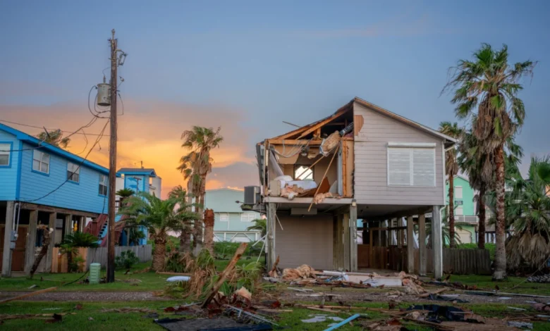
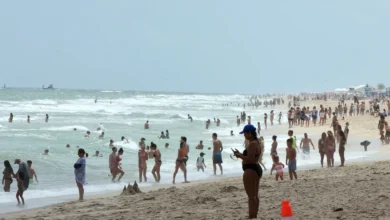
Regional Impacts: Megacities on the Brink
The human cost of these revised estimates is staggering. The Seeger-Minderhoud study concludes that approximately 80 million people are currently living on land that sits below the actual sea level—nearly double previous estimates. If sea levels rise by another 3.3 feet (one meter), an additional 132 million people will be at risk, an area of land equivalent to the size of the United Kingdom.
The Mekong Delta, Vietnam
In the Mekong Delta, Philip Minderhoud’s earlier field research began to hint at these discrepancies a decade ago. While official forecasts suggested the delta would remain safe until sea levels rose by five feet, Minderhoud observed that surface water was already encroaching on farmland. The new data confirms that the delta is under immediate threat, with the combination of a higher sea baseline and rapid subsidence creating a "survival timeline" that is decades shorter than previously thought.
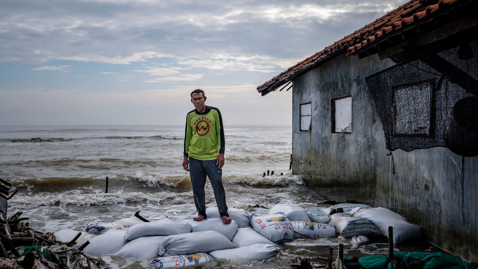
Jakarta and Semarang, Indonesia
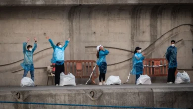
Indonesia provides the most dramatic example of subsidence-driven crisis. Jakarta has sunk by as much as 13 feet since 1970 due to groundwater pumping. The situation is so dire that the Indonesian government is currently in the process of moving its capital to a new site in Borneo. In Semarang, a city of two million, the land is sinking up to 50 times faster than the sea is rising. Residents are trapped in a cycle of raising their homes on stilts as entire neighborhoods slowly disappear beneath the waves.
The Nile Delta, Egypt
The Nile Delta, the breadbasket of Egypt, faces a different but equally grave threat. The construction of the High Aswan Dam in the 1960s cut off the flow of sediment that naturally replenished the delta. Deprived of new soil and undermined by groundwater pumping, the coastline is retreating by more than 300 feet per year in some areas. The infiltration of saltwater into the soil is already poisoning palm trees and destroying vital agricultural land.
Supporting Data: The Global Disparity
The impact of these findings is not distributed equally. The "geoid error" is most prevalent in the Global South, where ocean currents like the Gulf Stream or the Agulhas Current create significant "dynamic sea level" effects that global models fail to capture.
| Region | Geoid Model Error (Estimated) | People Below Sea Level (New Estimate) |
|---|---|---|
| Southeast Asia | +36 inches | ~45 million |
| Global Average | +10 inches | ~80 million |
| Northern Med. | -4 inches | ~2 million |
| Antarctica | -8 inches | N/A |
Note: Positive values indicate that actual sea levels are higher than current models suggest.
Official Responses and Policy Implications
The revelation that current scientific baselines are flawed has sent shockwaves through international development agencies. Institutions like the World Bank and the Asian Development Bank rely on IPCC-aligned risk assessments to determine where to fund sea walls, dikes, and relocation projects. If the risk has been underestimated by 30% to 50%, existing infrastructure may be "designed for a world that doesn’t exist," as one oceanographer put it.
Matt Palmer of the U.K. Met Office’s Hadley Centre noted that these findings suggest devastating impacts will arrive "much earlier than predicted." This sentiment is echoed by Jonathan Bamber, a glaciologist at the University of Bristol, who pointed out that the 10-inch discrepancy in the sea-level baseline is larger than all the warming-induced rise seen over the last century.
There is, however, a glimmer of hope in the data regarding land subsidence. Unlike global sea-level rise, which is tied to the complex and slow-moving process of atmospheric carbon reduction, land subsidence is often a local problem with a local solution.
The Path Forward: Mitigation and Adaptation
The case of Tokyo offers a blueprint for modern coastal cities. Between 1920 and 1960, parts of Tokyo sank by 15 feet due to industrial groundwater extraction. Recognizing the existential threat, the city government enacted strict bans on pumping. Since then, land levels in Tokyo have stabilized.
Similar efforts are being attempted in Java, where NGOs and the government are planting mangroves to buffer against the tides. However, experts warn that "green infrastructure" like mangroves cannot succeed if the land they are planted on continues to sink rapidly. The priority, according to hydrologists like Scott Jasechko, must be the management of aquifers and the restoration of river sediments.
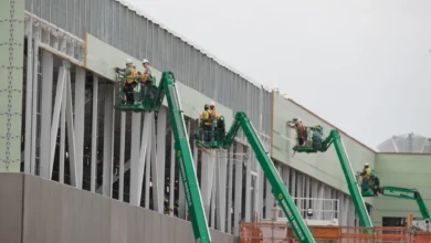
In the United States, the Mississippi Delta serves as a testing ground for sediment restoration. After the catastrophe of Hurricane Katrina, the U.S. Army Corps of Engineers began diverting sediment-rich water from the river to rebuild protective marshes. While expensive and slow, these projects represent the only way to counteract the "sinking" effect in deltas where dams and levees have blocked natural processes.
Analysis: A New Narrative of Vulnerability
The synthesis of these two studies rewrites the story of the 21st-century coast. For decades, the narrative has been one of a slow-motion rise—a steady, predictable encroachment of water that could be managed with enough time and engineering. We now know that for many of the world’s most vulnerable people, the water is already here, and the ground is moving out from under them.
The immediate implication for global governance is the need for a massive update to coastal risk maps. Governments can no longer afford to rely on "one-size-fits-all" global models that ignore local ocean dynamics and the invisible collapse of the land. As Franck Ghomsi of the University of Cape Town observed, the convergence of a higher sea baseline, sinking land, and more frequent extreme weather events creates a cumulative impact that is far greater than the sum of its parts. The window for adaptation is not just closing; in many parts of the world, it has already shut, making the transition from "coastal protection" to "managed retreat" an urgent necessity for millions.


